In the hinterland of China, if there was a highway starting from the seashore facing the vast ocean, with hills, fields, mountains, highlands, and rich humanities along the way, would you choose to go on a self-drive trip?
I would definitely choose to go on a self-drive trip along a highway that faces the vast ocean! The scenery is absolutely stunning, and it would be so wonderful to enjoy the beautiful scenery while driving without having to worry about any traffic or other inconveniences.
1. G320 highway
The first place of the most beautiful highway in the southeastern hilly region, namely G320. G320 across China From Shanghai in the eastern coastal area to Ruili on the border with Myanmar, the 3,695-kilometer-long G320 is like the “belt” of China.
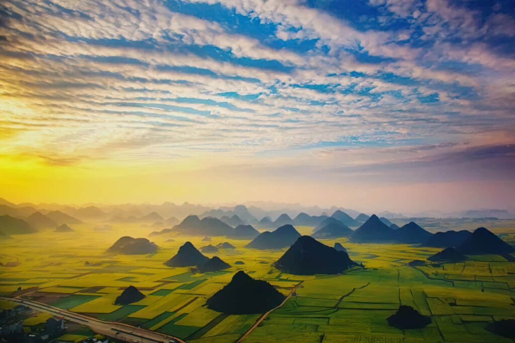
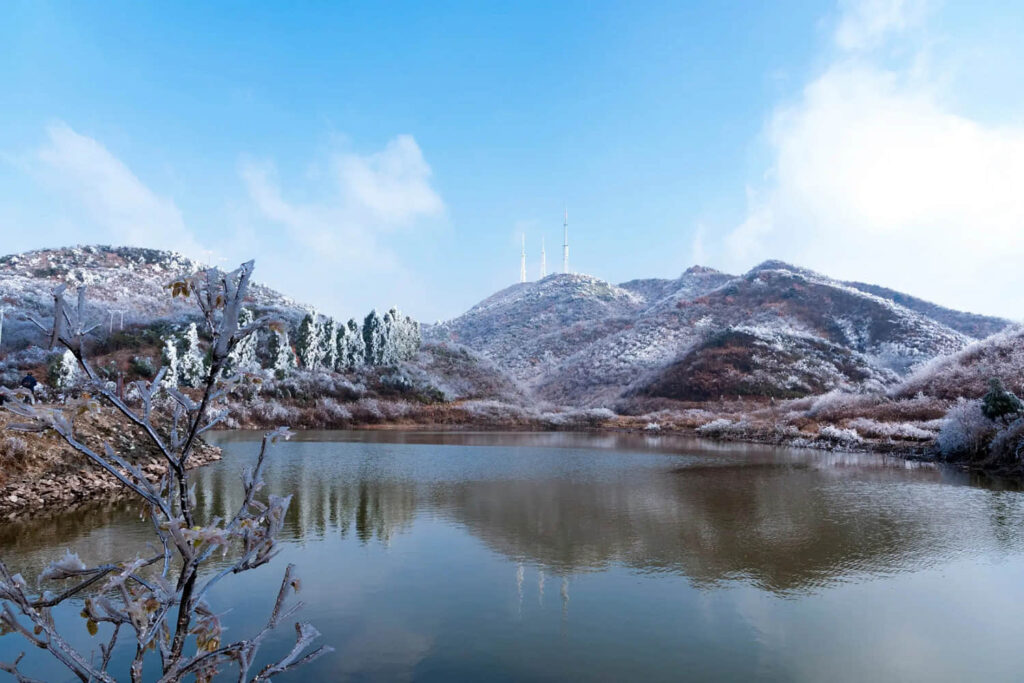
On this way, there is the Fuchun River, bridging the water township of Jiangnan and the hills of Zhejiang and Fujian, and there is Huaiyu Mountain, entering the plain of Poyang Lake. There is the hilly area of Jiangnan and also the Yunnan-Guizhou plateau where a large amount of limestone is deposited, and the dissolving effect makes the plateau exhibit unique karst landform peaks and forests.
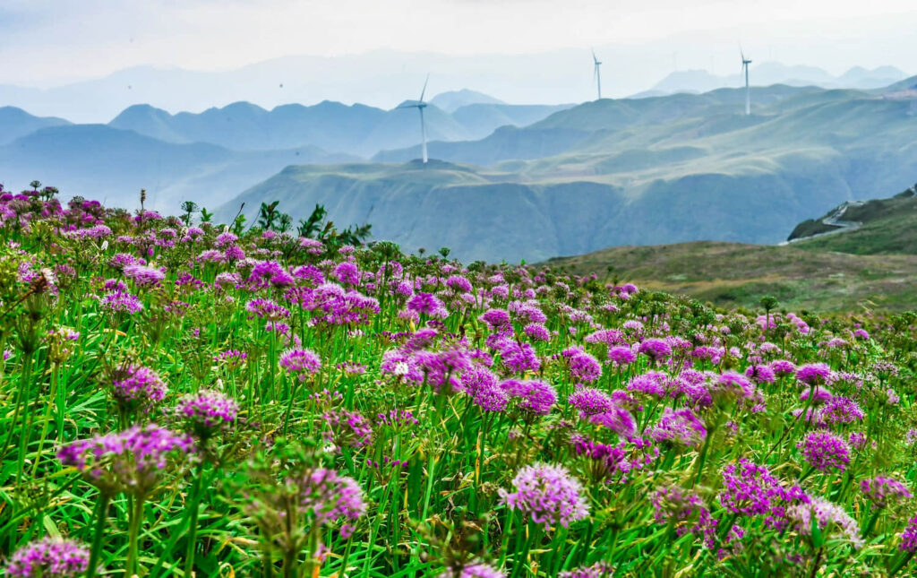
The rape flowers and karst landscape peaks and forests on the Yunnan-Guizhou plateau, if the highway is divided into sections and discussed in terms of fame, then the Yunnan-Guizhou section is the most famous, whether it is the Ershisidaoguai or the Burma Street built by 200,000 people, all of them are moving to the ears of people.
The way to enjoy the beauty of this highway should start from the eastern section that winds through the hilly plains, from the picturesque south of the Yangtze River, and then extend to the vast plateau.
2. Jinghang Waterway
It can be said that without the existence of the Jinghang Waterway, the culture of Jiangnan would not be so rich.
Most of the rivers along Taihu Lake are artificial rivers and canals, and they form a network of canal water, relying on the Jinghang Waterway, forming a logistics and cultural channel between Jiangnan and the capital.
Beijing merchants, Anhui merchants, and other business groups active on it, poets, painters travel by boat, economy, poetry, painting set on this land, gradually developed, rich, rich water township, poetry and painting Jiangnan thus.
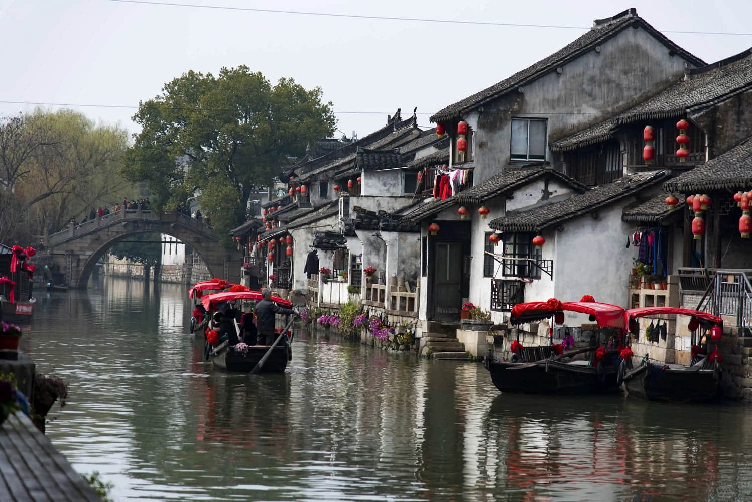
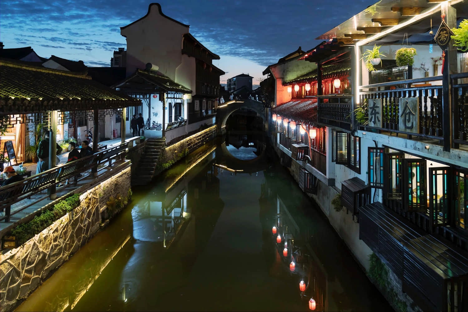
G320 passed by Shanghai, Jiaxing, and Hangzhou is relying on the canal to make a fortune, basically the canal and canal intersection where there is an ancient town of Jiangnan water.
For example, Fengjing Ancient Town and Xinchang Ancient Town in Shanghai, Xitang Ancient Town, and Wuzhen in Jiaxing, Tangqi Ancient Town, and Longmen Ancient Town in Hangzhou. It is because of the existence of these ancient towns that we got a picturesque start by going up to G320 and, after that, entering the Fuchun River basin.

3. Fuchun River
Starting from Hangzhou, the journey along the Fuchun River is the official entry into the hilly area of Zhejiang and Fujian. The Fuchun River is about 110 kilometers long and the G320 is more than 80 kilometers long. Although the distance is short, the flavor of the landscape culture is no less, and numerous celebrities and scholars have been fascinated by it throughout history.
Huang Gongwang, a painter of the Yuan Dynasty, lived in Fuyang for a long time and completed his masterpiece “Dwelling in the Fuchun Mountains”, but due to “burning the painting for burial” it was divided into two sections, half of which are now in the Zhejiang Provincial Museum and the other half in the National Palace Museum in Taipei.
Out of Tonglu, into Jiande, G320 in the northern foot of Wulong Mountain through, if interested, in the southern foot of Wulong Mountain there is a good view of the ancient town of Meicheng, Fuchun River, and Xin’an River in this partition.
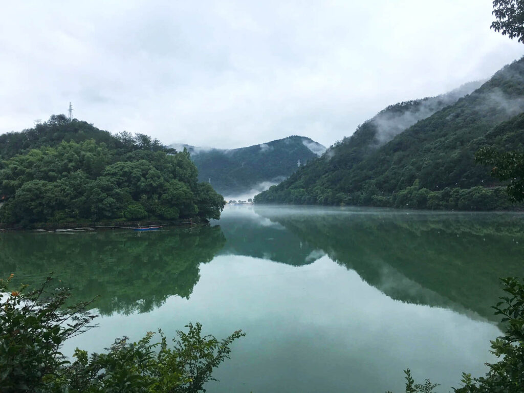
Qiandao Lake (Xin’anjiang Reservoir)
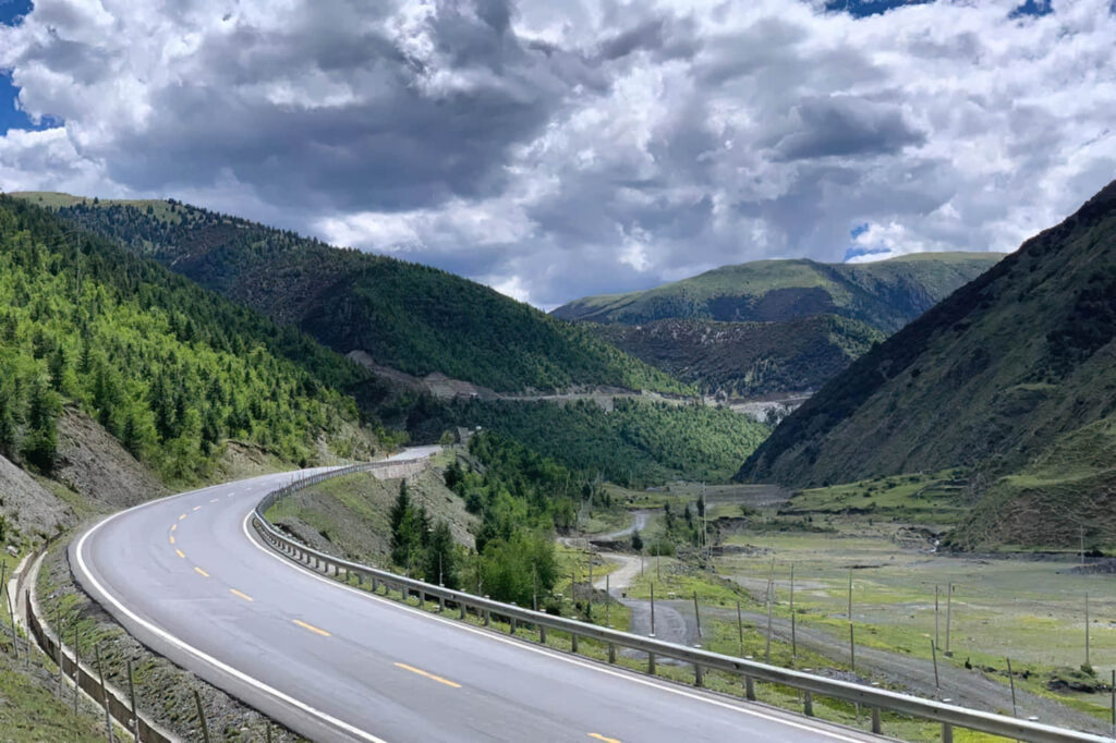
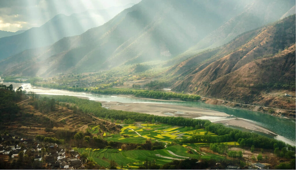
G320 goes down the Xin’an River to Jiande, where mountains and rocks, rivers, white clouds, and river sand work hard to create the spirituality of the hills. Of course, the biggest highlight of the trip is in Jiangxi, which crosses Quzhou and enters.
4. Jiangxi
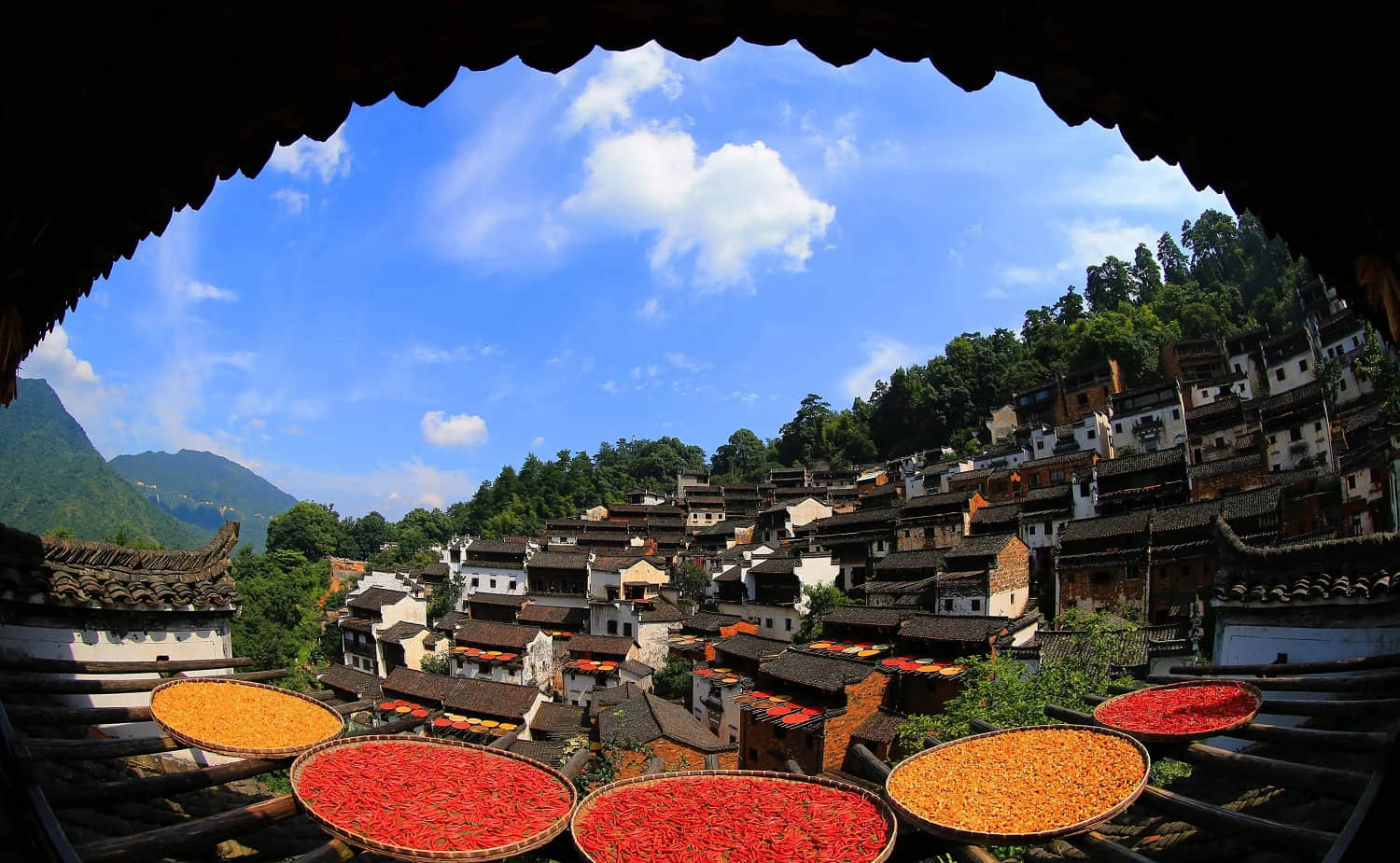
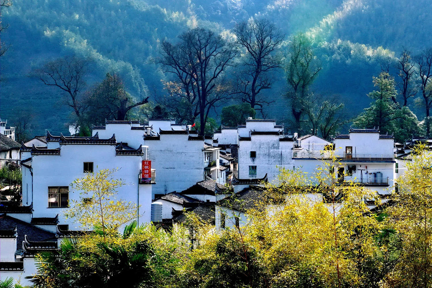
If you talk about Chinese landscape poetic architecture, Hui style architecture that cannot be bypassed, just the right amount of a persimmon tree, the stream flowing by the village, and even the rape fields in front and behind the village, enough to make the photographer freeze for it.
However, many people do not know that both Hui style architecture and Huizhou merchants are basically scattered in Jiangxi, Anhui, and Zhejiang provinces at the junction.
Tianzhu Mountain, from which the abbreviation “Wan” of Anhui comes.
Shangrao, a very small city in Jiangxi Province, was called Xinzhou in the old days, and is a thoroughfare in eight directions, deep in Wuyuan, which is familiar to travelers and even shares Poyang Lake with Nanchang and Jiujiang.
It borders Anhui, Zhejiang, and Fujian, with the Huaiyu Mountains to the north, the Xianxia Ling and the Wuyi Mountains to the south, and the Xinjiang River basin deep between the hills of Zhejiang and Fujian and the hills of South China.
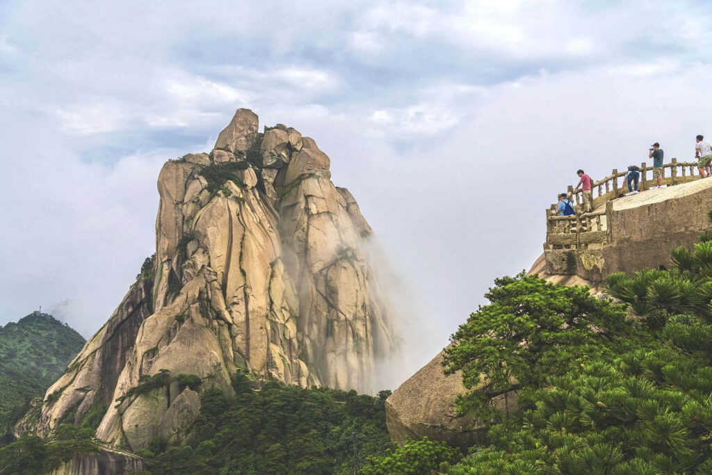
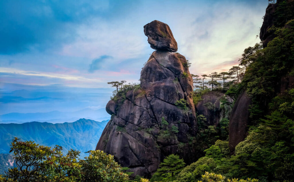
In this small watershed, famous mountains in Taoism, such as Sanqing Mountain, Mount Longhu, Soul Mountain, and Ge Xian Mountain, are scattered among them, making countless Taoist peoples make pilgrimages here.
Sanqing Mountain
In March and April every year, the mountains of Jiangxi stretch out endlessly with G320, with green hills, green water and white walls, and morning mist. And in November and December every year, countless migratory birds fly into Poyang Lake, which becomes the best destination for photographing migratory birds.
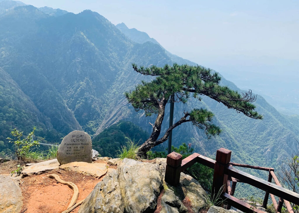
Lushan Mountain
Jiangxi is like a beautiful woman, both deep in the harem and obscure, but also deep and long history.
5. Xuefeng Mountain
After crossing the Ganjiang River basin and coming out of the intersection of Jiuling Mountain and Wugong Mountain, you will enter the Xiangjiang River basin and walk through Zhuzhou, Xiangtan, and Shaoyang in succession, and then you will reach the foot of Xue Feng Mountain.
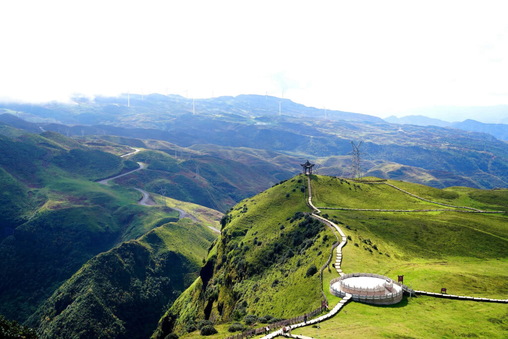
After crossing the Xuefeng Mountains, which divide the southeastern hills and the Yunnan-Guizhou plateau, and then entering the state of Qiandongnan Miao and Dong Autonomous Prefecture, the rich landscape of Guizhou is slowly unfolding as the mileage of G320 increases.
6. Guizhou mountains
If you like mountain driving, you can take the Leigong Mountain self-driving loop we surveyed not long ago after arriving in Sansui County to experience the rich humanities and terrain in the southeast of Qiandongnan Miao and Dong Autonomous Prefecture.
If it is said that the mountains of Guangxi are gentle and refreshing, then the mountains of Guizhou are gentle, bold, and a little more romantic.
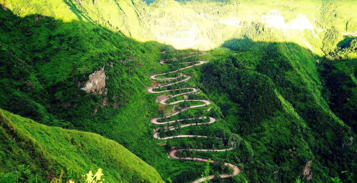
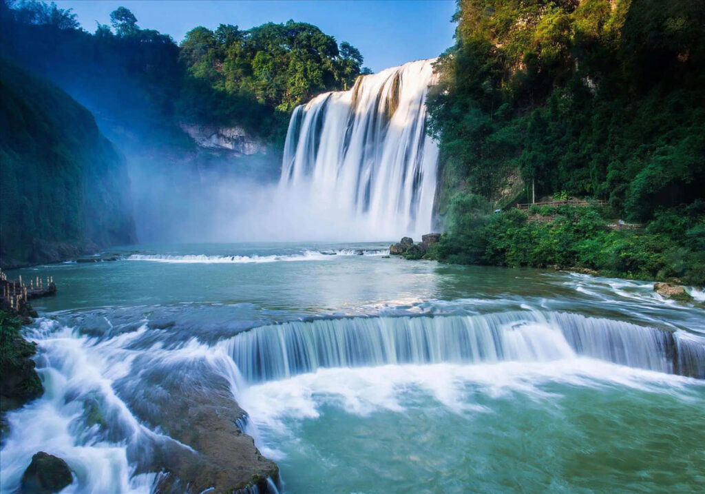
There are landscapes such as Longli Grassland, Baihua Lake, Hongfenghu planted with cherry blossoms, and the famous Huangguoshu Waterfall along the G320, and there are also landscapes far away from the G320, such as Wumeng Mountain Grassland, Jiucaiping, Baili Rhododendron, and Zhijin Cave. However, once you take G320, you can’t miss Ershisidaoguai.
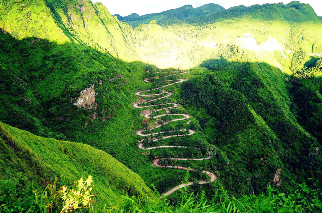
Although a famous sign of Ledo Road, it was not famous in the beginning, and those who know these roads are limited to Qianxinan Buyei and Miao Autonomous Prefecture locals, outsiders don’t know at all.
And when experts and scholars looked for it, due to the complex relationship between the names of the two highways, the Ledo Road (China-India Highway) and the Burma Street in history, led them to basically run Yunnan, Myanmar, and even India and Vietnam to find it, until 2002 when it was deciphered by historians.
From Qianxinan Buyei and Miao Autonomous Prefecture into the Yunnan, the G320 direction is no different from the direction of the Burma Street, of course, you have to say that it is the Ledo Road, that is also true, this section of the road in Yunnan territory with either name is right because they are in Yunnan common line.
7. Burma Street
Burma Street starts from Kunming all the way to the west, crosses the Lancang River and Nujiang rivers, enters Myanmar through Myitkyina, and ends at Lashio.
The total length of the highway is 1146 kilometers, the Yunnan section (domestic section of Ledo Road) is 959 kilometers, and the Myanmar section is 187 kilometers. If the highway is extended northward from Wanding Town to Myitkyina of Myanmar and Lido of India, it is the northern extension of Ledo Road.
G320 is a highway you can’t miss, full of Jiangnan characteristics due to the harmony of landscape and people, and full of fearless posture due to the connection between history and people.